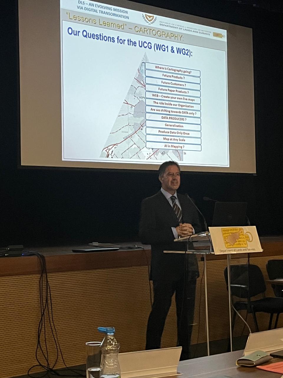
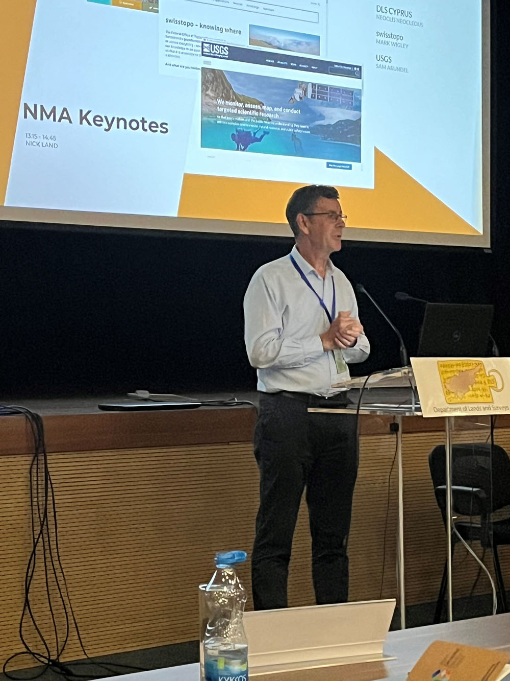
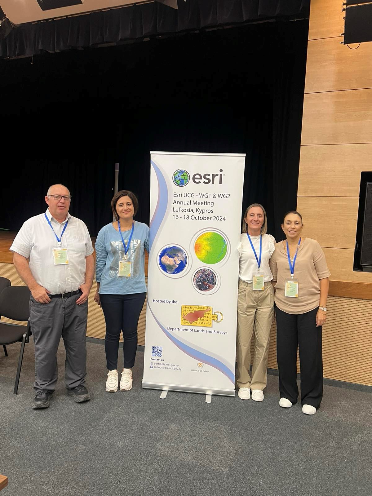
From October 16 to 18, 2024, the Department of Lands and Surveys hosted the 11th Annual Esri User Community for Geospatial Authorities (UCG) Meeting. For the second consecutive year, this Annual Meeting was held jointly for Working Group 1 (Multi-Resolution Geospatial Production) and Working Group 2 (Remote Sensing & GeoAI).
The event took place at the POED building in Nicosia and was attended by 100 delegates from 20 countries, primarily representing national cartographic organizations. Additionally, a team of 11 staff members from Esri participated.
Throughout the Annual Meeting, participants engaged in a variety of activities, including workshops, presentations, and discussions. These sessions covered a wide range of topics relevant to the work of the two working groups, such as innovative approaches to topographic map production, the use of artificial intelligence to enhance national map series data, and the application of new tools for generalization techniques, map synthesis, and remote sensing.