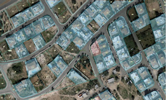
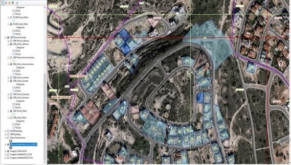
By using the integrated Land Information System, modern technology (artificial intelligence), satellite images and other geographic data, the Department managed to collect new data in cooperation with other public sector departments and in combination with its existing data, to analyse and utilise them in various projects of the Department, such as the General Valuation.
Some of the examples are listed below: